

The Early Church Map
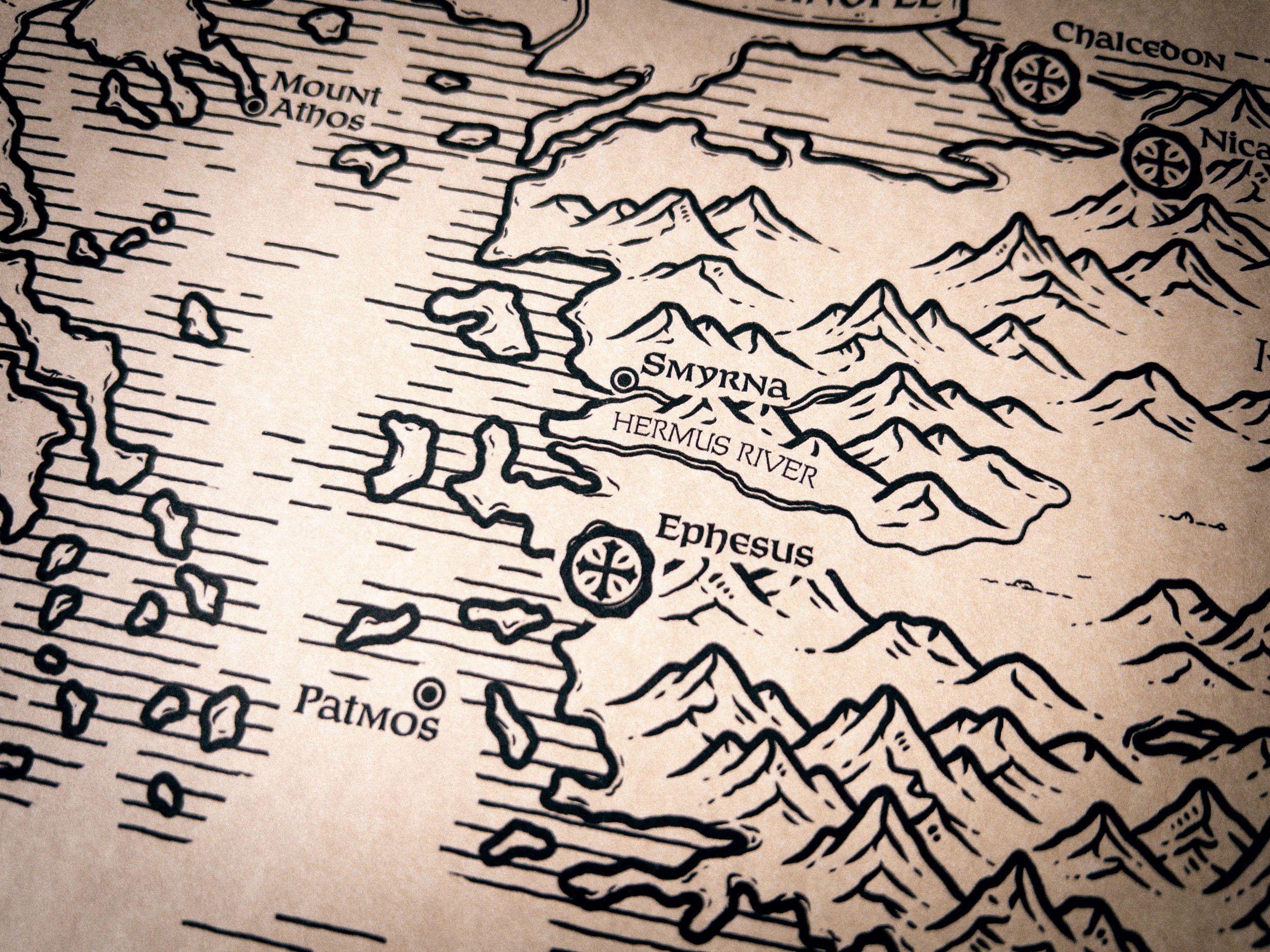
A hand drawn map of the Pentarchy and the Ecumenical Councils, circa AD 800
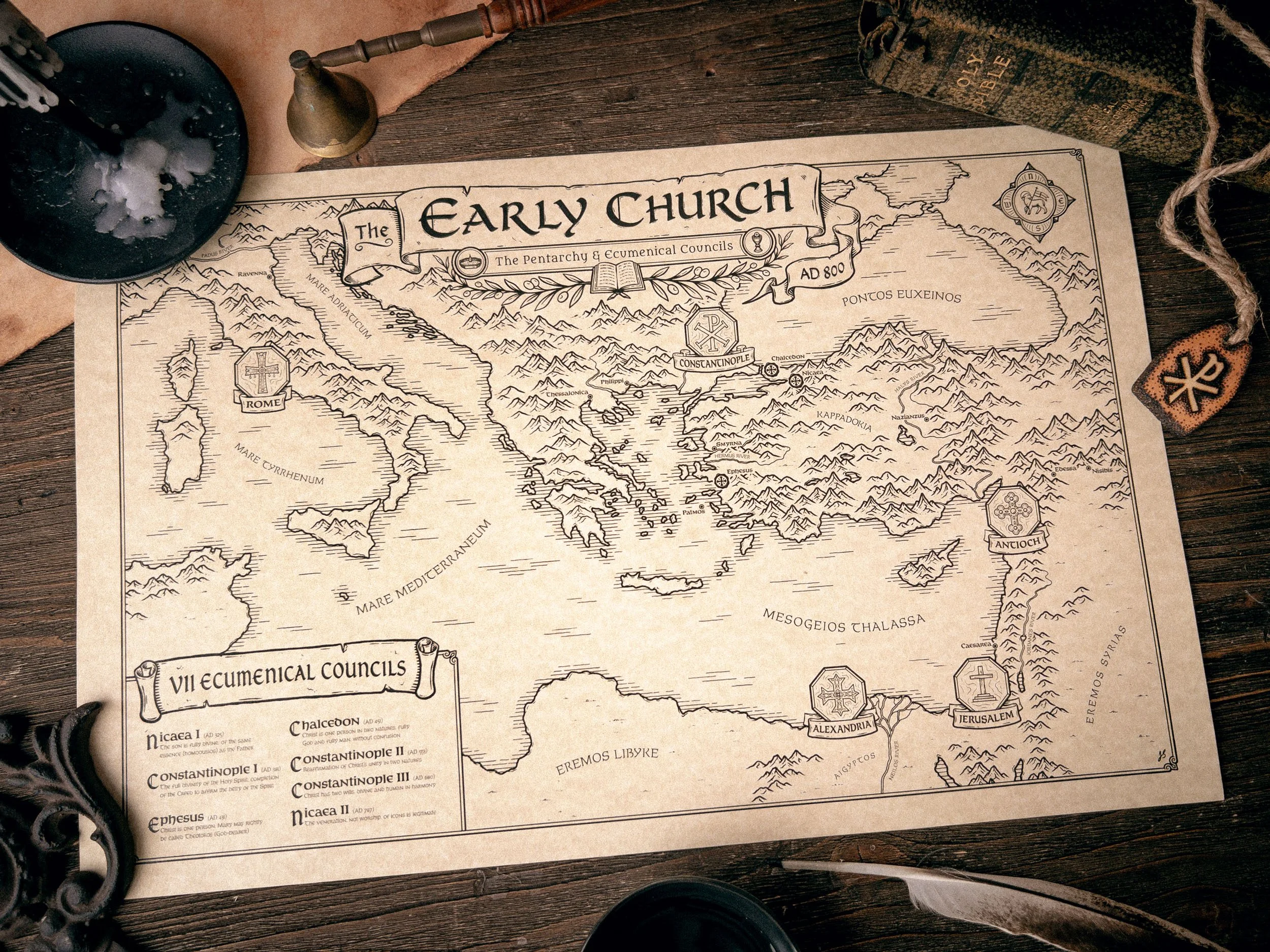

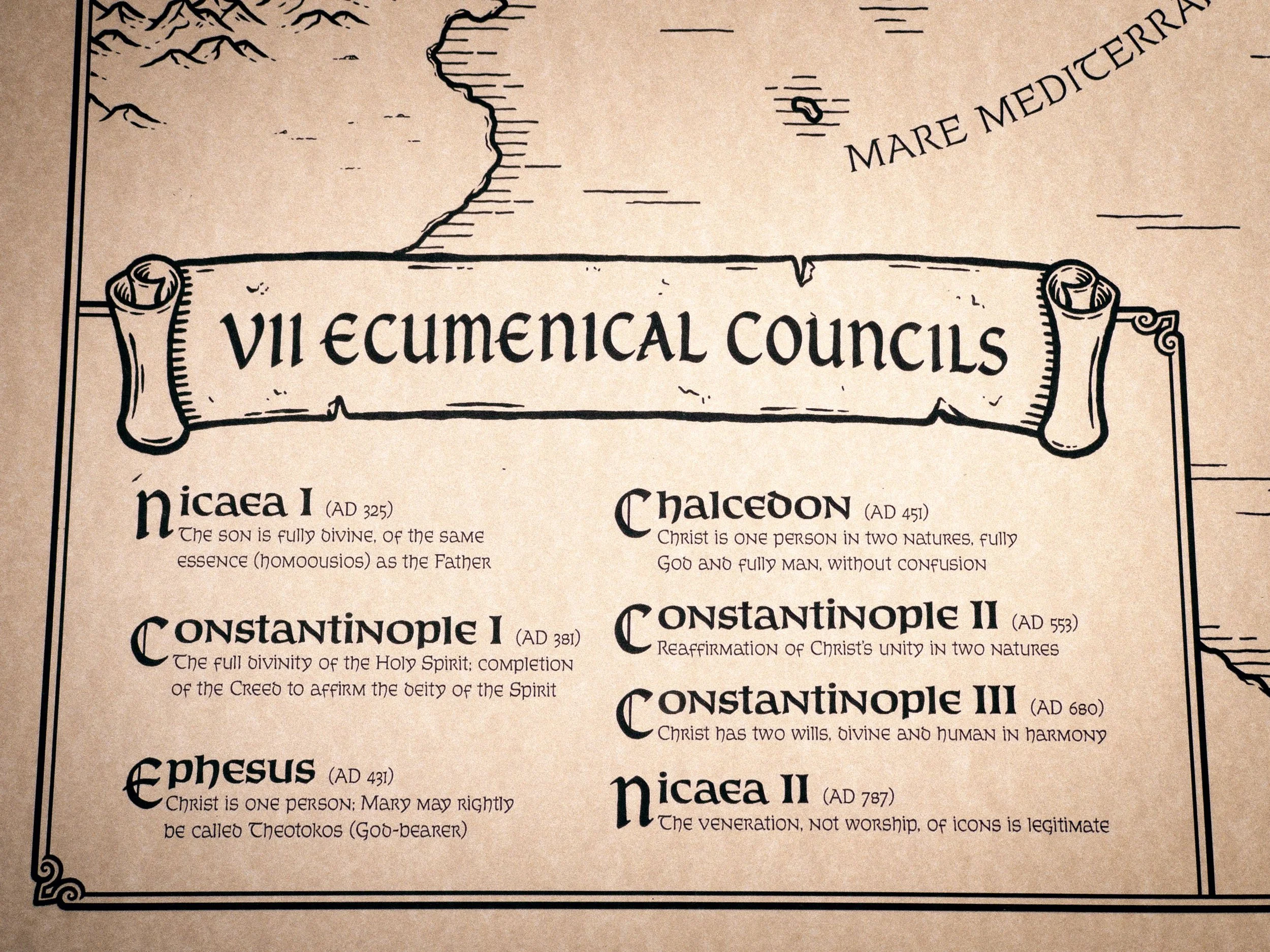
Hand-drawn original artwork by Josh Stolarz
Historically researched geography and Christian symbolism
Fine-art paper with a warm, aged tone and vellum finish
Acid-free and lignin-free with archival properties
Professionally printed with pigment-based inks
Free U.S. shipping
This is more than just a map of geography. It’s a visual journey through the history of the church.
When you step inside an old church, the beauty isn’t accidental. We marvel at the stained glass, the carved woodwork, the paintings, and the architecture. Then we learn why the crosses are shaped the way they are, why the baptistry stands at the entrance to the nave, or why the illuminated windows tell the stories that they do. The more we learn, the richer the experience becomes, and the more our hearts are drawn upward to the One behind it all.
As someone who loves studying the way God has worked throughout history, I wanted this map to reflect that as faithfully as I could. That meant researching not only the geography, but the language, symbolism, and artistic traditions Christians have been weaving into their art for nearly two thousand years.
My hope was to capture a small piece of that rich heritage. Not simply to create something beautiful, but something that points to Christ, invites people to ask questions, starts conversations, and encourages others to explore the remarkable story of the church.
- Josh Stolarz
★★★★★
The map is beautiful. Good paper weight, excellent translation of detail, and it came in perfect condition
- Patrick -
Art Print Details
17”×11” and 34”x22” Art Print Reproduction
Fine-art paper with a warm, aged tone and vellum finish
Acid-free and lignin-free with archival properties
Professionally printed with pigment-based inks
Hand-drawn by Joshua Stolarz
SHIPPING & GUARANTEE
Only shipping to the United States at this time
Free Shipping
Returns are accepted only for items that arrive damaged or have a defect.
The Stories Behind the Symbols
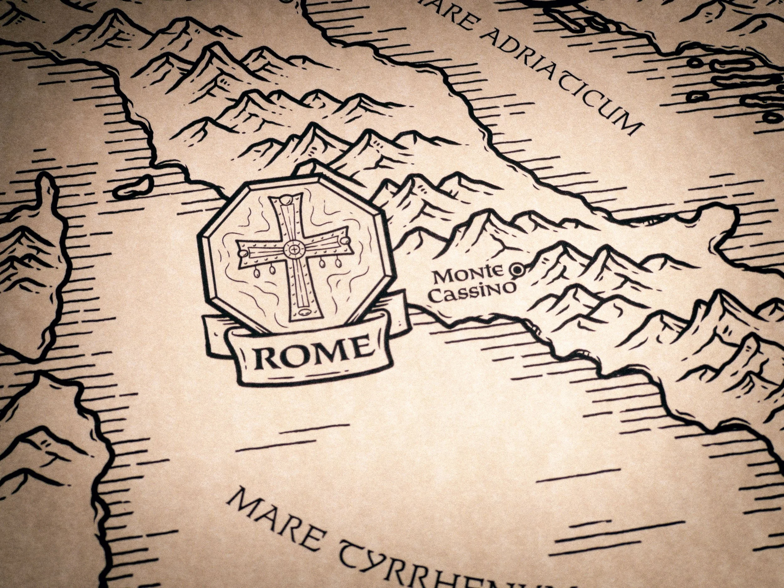
The Vatican Cross is a sixth century gift from Justin II, Emperor of Constantinople to the church in Rome. At its center is believed to rest a fragment of the True Cross, while the inscription celebrates not earthly power, but Christ’s victory over sin and death.
The purpose behind such an ornate cross is to magnify the beauty of the One who triumphed upon it. Every jewel and inscription proclaims Christ as the victorious King.
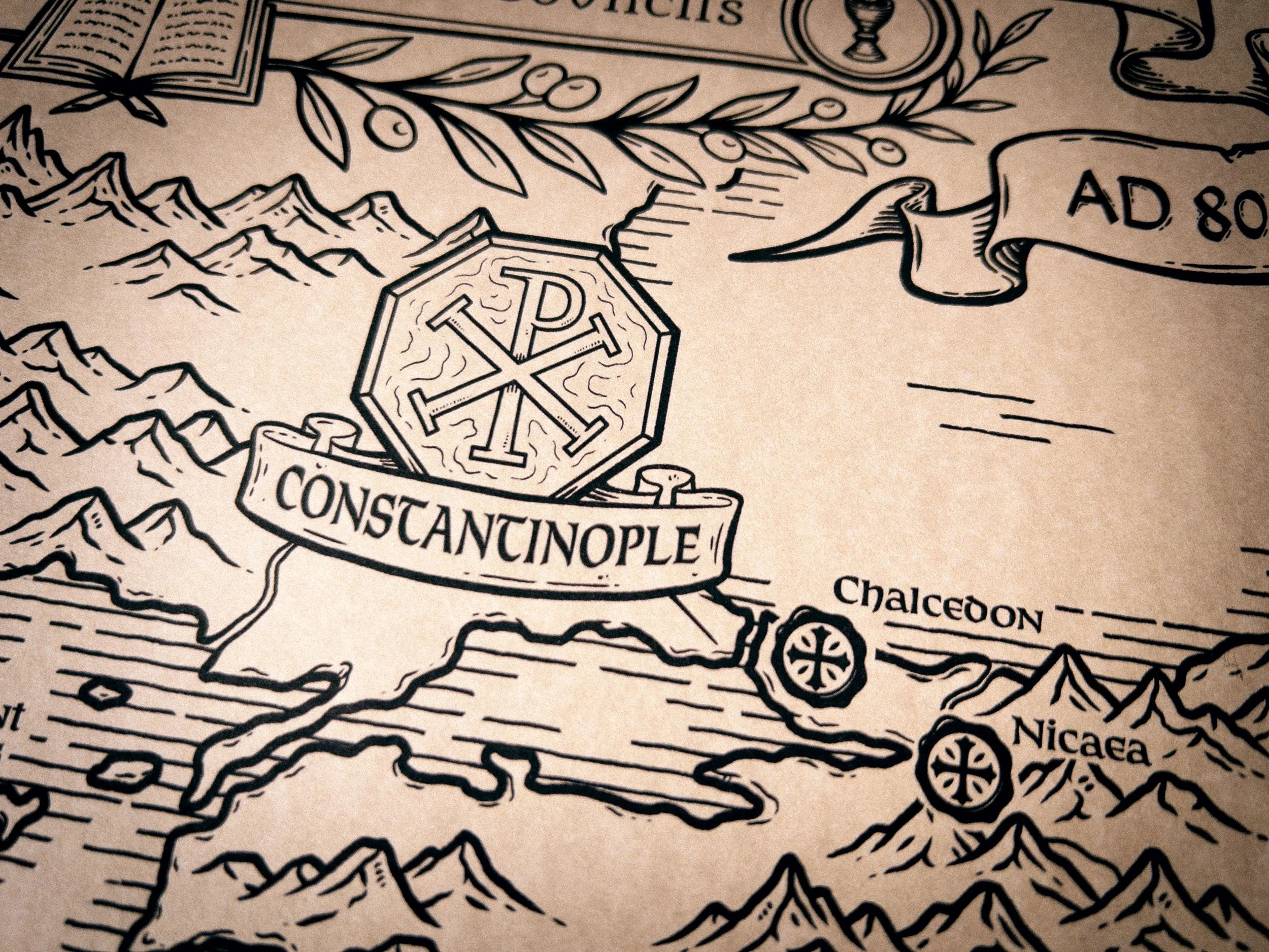
On the eve of a decisive battle, Constantine the Great had a dream where God spoke to him in a dream. He showed him a sign in the sky, the Chi-Rho, the first two letters of the name of Christ. He was said, “By this sign, conquer.” The next day Constantine painted the sign on the shields of his men, and they fought to victory.
Not long after, Constantine issued the Edict of Milan, legalizing Christianity in the Roman empire and changing the course of history.